December 8, 2021, the RAPID project organized the discussion on the status and needs of open land data. During the event, Roman Tishkun, an expert on geographic information systems, presented his research on open land data in the context of taxation.
For this research, land data from 40 communities was analyzed. The analysis showed a discrepancy between actual land ownership and land taxes collected. The number of privately owned plots (according to the State Land Cadastre data) exceeded the number of taxpayers (according to the State Tax Service data) by 10-35%.
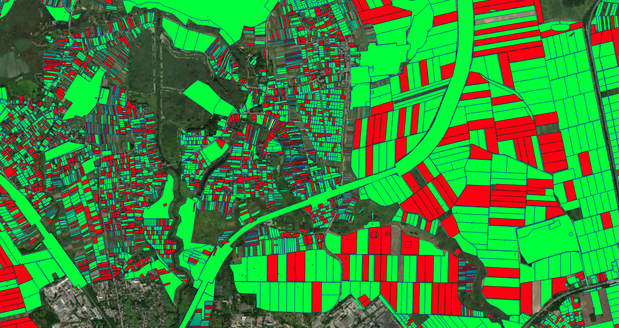
For example, according to the State Tax Service data PERSON_1 owns a land plot of a particular area, but in fact, PERSON_1 owns a parcel of a larger size. Such cases happen because the list of tex payers was created based on land records of local self-government, and in the process of privatization, a larger area was transferred to PERSON_1.

When identifying land plots that are not taxed, self-governance employees have the following difficulties:
- no algorithm of actions on the access to tax identifiers of physical persons;
- no appropriate algorithm to get information about the place of residence of individuals;
- there is no access to the database of taxpayers of the State Tax Service for self-government control.
When local officials are working with immovable property rights data there is not always a record of tax identifiers of individuals. And to obtain data on the place of residence of an individual from the migration service register, the officials must indicate in the request the full name and date of birth of the requested person. All processes are not automated and should be performed manually.
Access to the State Land Cadastre data is also partially restricted for local governments of territorial communities. The time to process one record in the SLC database is at least 5 minutes. Depending on the number of land plots within a medium or large community, it takes 100 to 300 business days to process all records.
Calculation:
10,000 * 5/60/8 = 104 working days and 30,000 * 5/60/8 = 312 working days
here 10,000 and 30,000 – the number of land plots of the medium and large community;
5 – the number of minutes required to receive and process data;
60 – the number of minutes in one hour;
8 – the number of hours in one working day.
The API to the State Land Cadastre Map has its advantages:
– Ability to build thematic maps on indicators: purpose;
ownership; normative monetary evaluation; category of lands.
– Obtaining the number and list of cadastral numbers.
However, there are several disadvantages, such as:
– Lack of data on land users, owners;
– Rough geometry of plots (mandatory consideration in the development of – urban planning documentation and litigation);
– There is no access to land users and owners data for local governments.
According to the results of the online discussion “Open land data”, which took place on December 8, 2021, following recommendations were developed:
Ensure constant and sustainable access to all land cadastre data through API and publication of a data dump on the Unified State Web Portal of Open Data (data.gov.ua) in accordance with international standards.
Provide access to data about the verbal description of the land area, restrictions (power lines, etc.) and subleasers.
Provide interaction with other cadastres administrated by governmental agencies and local self-governments.
Ensure continuous and effective interaction with open data community, users of land data (create the Land Data Hub). The operation and efficiency of such a hub depend on the efforts and will of the State GeoCadastre Service. Currently, there is a lack of understanding of user needs, sometimes aggressive behavior of the State Land Cadastre administrators.
Provide access to WFS API data with coordinates of turning points without rough geometry by local governments within their territory according to the section “New layers” – layer “Boundaries of territorial communities” with a list of data in the information system of the State Land Cadastre.
Provide public access to WFS API data with coordinates of turning points without rough geometry.
Add information on the list of attributes of objects (land plots) to the SLC database, where the State GeoCadastre Service is holder, and a separate list of attributes that it is not the owner, indicating their owners.
The event and this material were developed within the framework of the RAPID project.
Supported by the Public Affairs Section of the U.S. Embassy to Ukraine. The
views of the authors do not necessarily reflect the official position of the U.S. Government.